A Village That Used to Be Something
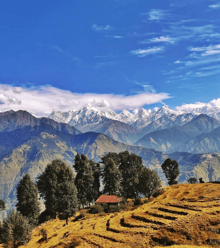
There’s a particular kind of quiet that settles over a place when the people have left but the buildings haven’t. Not peaceful quiet. More like a pause mid-sentence – that’s Milam – something happened and something is yet to happen. I ended up in this village in the eastern folds of Kumaon on a short hike — not a serious expedition — drawn by the pull of the Panchachuli peaks visible on the skyline. Five summits that don’t thrust dramatically upwards so much as settle, as though they’ve long since stopped trying to impress anyone. Milam sits below them, at the end of a valley that once connected India to Tibet through a network of high passes. Traders came through here for centuries. Wool, salt, grain — goods moving between worlds separated by altitude rather than distance.
What I hadn’t fully appreciated until I arrived is what Milam actually is in the geography of Kumaon trekking. It is a confluence — a starting point, or rather the starting point, for an extraordinary range of journeys radiating outward from this single quiet valley. The Milam Glacier lies further up this same route, a long and rewarding trek for those with days to spare. North and east from here, the trails branch toward Roop Kund — the mysterious high-altitude lake of skeletons, discovered by a forest ranger in 1942, that has puzzled historians and archaeologists ever since. Further still, past the higher passes, lies the route toward Om Parbat and ultimately the Kailash Mansarovar pilgrimage, the most sacred journey in the Hindu tradition. This quiet, half-empty village is, in trekking terms, a major junction on the oldest road network in the mountains.
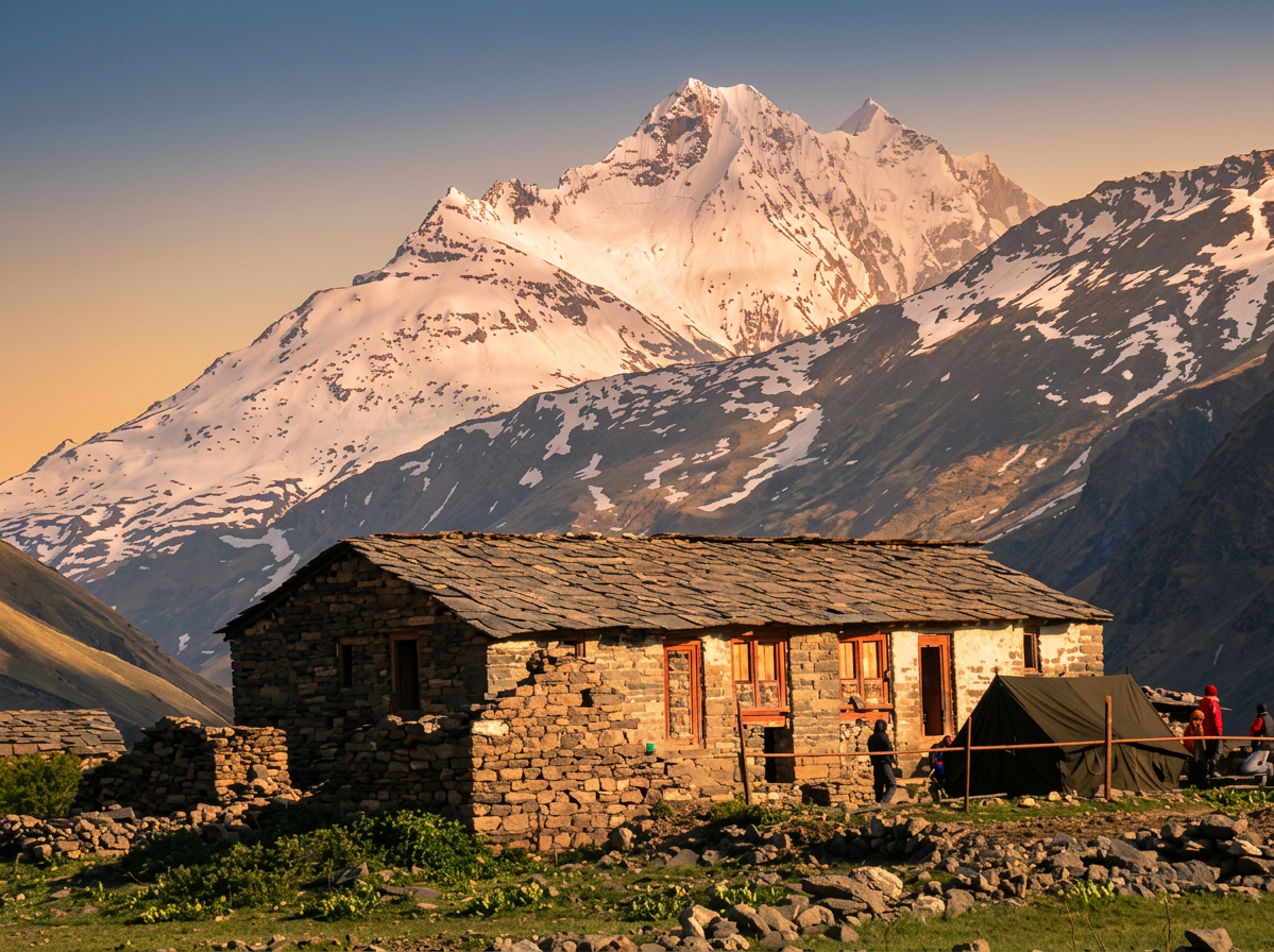
By the time I arrived, the seasonal herders were gone, trekking season was just completed. I had a cup of tea with the only family still in residence, their hospitality entirely out of proportion with what I deserved for simply showing up unannounced. And it was there — not in any book, not as a formal introduction — that I first heard the name Nain Singh.
Not even as a full sentence. Just as a fragment: someone mentioned a mountain range named after a “pundit.” That word. The way it landed. In the Himalayas, peaks are named after gods, goddesses, or something suitably eternal. You expect divinity. A pundit felt different. More specific. More human. Enough to make me want the rest of the story.
The Problem With Blanks on Maps
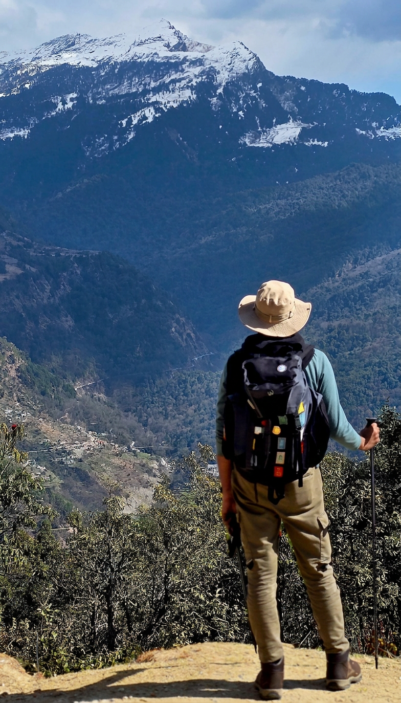
By the nineteenth century, the British had accomplished something genuinely extraordinary — they had measured an entire subcontinent. The Great Trigonometrical Survey of India, launched in 1802, had painstakingly calculated distances, triangulated peaks, and translated an entire landscape into numbers with almost obsessive precision. The Himalayas had been surveyed from a distance. Everest had been calculated. The bones of the map were in place.
And then there was Tibet.
Just beyond the northern rim of the Himalayas lay an enormous, elevated plateau — unmapped, unmeasured, and officially closed to foreigners. This wasn’t just a geographical gap; it was a political one. Rumours circulated of Russian expansion drifting southward. Chinese influence across the plateau added another layer of unease. And the British, who were deeply uncomfortable with uncertainty in any of its forms, found themselves staring at a large blank on a map and not knowing what to do about it.
Thomas George Montgomerie, a surveyor who had already contributed significantly to the mapping of India, decided the blank needed to be addressed. But European surveyors entering Tibet was simply not an option — they would be spotted immediately, their equipment noticed, their purpose obvious. The usual tools of exploration were useless here.
So Montgomerie did something that was, depending on your perspective, either brilliantly pragmatic or magnificently audacious. He decided not to send instruments into Tibet at all.
He would send people who became instruments instead.
The Art of Becoming Invisible
Nain Singh was a schoolteacher from Milam. He had grown up in this very network of Himalayan trade routes, accompanying his father on journeys across the passes into Tibet from an early age. He spoke the language. He knew the customs. He understood how to move through that landscape without attracting attention — because he had been doing it, quite naturally, since childhood.
When Montgomerie recruited him into what would become known as the Pundit programme, what he offered Nain Singh wasn’t access. It was method.
The training that followed was as quietly ingenious as anything I’ve come across in the history of exploration. Nain Singh was taught to walk with absolute consistency — a rope roughly thirty-three inches long tied between his legs during practice sessions, forcing a fixed stride length until the rhythm became entirely instinctive. Two thousand steps to a mile. Not approximately. Precisely. This was a man who had, through repetition and discipline, turned his own body into a measuring instrument.
Then there was the question of counting. You can’t walk across Tibet with a notebook visibly in hand. So his prayer beads — the standard Buddhist mala of 108 beads — were replaced with a modified version containing exactly 100. Each bead represented 100 steps. To anyone watching, he was simply a devout pilgrim moving his beads in quiet prayer. He was, in fact, tallying distance with remarkable accuracy.
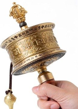
His prayer wheel — the kind carried and spun by Tibetan Buddhist travellers as a matter of routine devotion — was hollowed out. Inside it, hidden on rolled strips of paper, were his maps, his route observations, his calculations. His thermometer, used to estimate altitude by measuring the boiling point of water at different heights, was concealed inside the handle of his walking staff.
He walked into Tibet dressed as a trader or pilgrim. He joined caravans. He moved with the quiet confidence of someone who belonged there — because in many ways, he did. What he was doing in secret was surveillance. What it looked like from the outside was an ordinary journey.
Two Thousand Steps to a Mile
There is something in Nain Singh’s method that anyone who has done a serious high-altitude trek will recognise immediately — not as a surveying technique, but as a survival strategy.
On the worst sections of a steep climb — a loose gully going straight up, a snow slope where each step requires deliberate placement, an unending zigzag at altitude where the air is thin enough to make the simplest effort feel compound — the mind retreats from the big picture entirely. You stop thinking about the summit. You stop calculating how far remains. You count.
Ten steps, then rest. Five more, then breathe. Three to that boulder, then stop. The body, when exhausted past a certain point, can only be managed in small denominations. Large targets feel impossible. Small ones feel achievable. And the distance accumulates, step by counted step, until you look back and realise that impossible thing is now behind you.
The counting is not motivational. It is not inspiring. It simply gives the mind something to do other than calculate how far it is to the top. And it works every time.
Nain Singh counted steps across Tibet for the opposite reason — not to manage exhaustion but to build a map. Two thousand steps to a mile, bead by bead, caravan after caravan, across thousands of miles of plateau. such that his counted steps became the first accurate map of Tibet.
What He Found — and Confirmed
What Nain Singh accomplished over multiple journeys is, by any measure, remarkable. He determined the position and altitude of Lhasa with a precision that hadn’t been achieved before. He traced and mapped trade routes connecting settlements and passes across the Tibetan plateau. He measured distances through terrain that no British surveyor had ever set foot in.
But perhaps his most significant contribution was helping to clarify the course of the Tsangpo River. For years, geographers had suspected — but couldn’t confirm — that the Tsangpo, which flows across Tibet, was the same river as the Brahmaputra in Assam. Nain Singh’s observations helped establish that connection, resolving a question that had sat uneasily on the edges of geographical knowledge for decades.
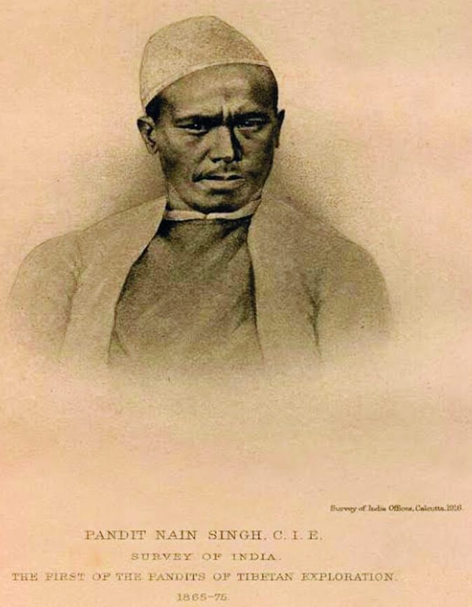
In 1877, he was awarded the Founder’s Gold Medal by the Royal Geographical Society — one of the highest honours in exploration at the time. Not as a footnote. Not as a curiosity. As a peer of the great explorers of his era. His maps were used by geographers for decades after.
Lines That Look Certain
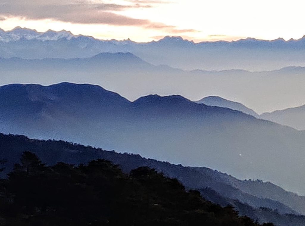
Standing in Milam on that quiet afternoon, thinking about the paths that radiate outward from this small valley — to the glacier, to Roop Kund, toward the distant passes that lead eventually to Kailash — I thought about what it means to fill in a blank on a map.
Maps have a way of making the world look settled, fixed, inevitable. You look at a line and it seems like it was always there, like the mountain range was always named and the river always charted. But every line was, at some point, an act of effort. Sometimes of daring. Sometimes of remarkable ingenuity. And sometimes — like this one — the result of a man from this small Himalayan village walking ten thousand steps a day in measured silence through a country that would have imprisoned him if it had known what he was doing.
There are no monuments to Nain Singh in Milam. No plaques. No great civic pride in evidence. Just stone houses and wind, and somewhere nearby, a mountain range named for a pundit who turned himself into a map.
One measured step at a time.
— Eastern Kumaon


Leave a Reply